
Drone roof surveys in Bristol — clear evidence and practical advice
See the condition of hard-to-reach roofs, chimneys, flashings and gutters before deciding what to do next. Hunter Ellis combines high-resolution aerial imagery with surveyor interpretation for homeowners and buyers in Bristol and South Gloucestershire.
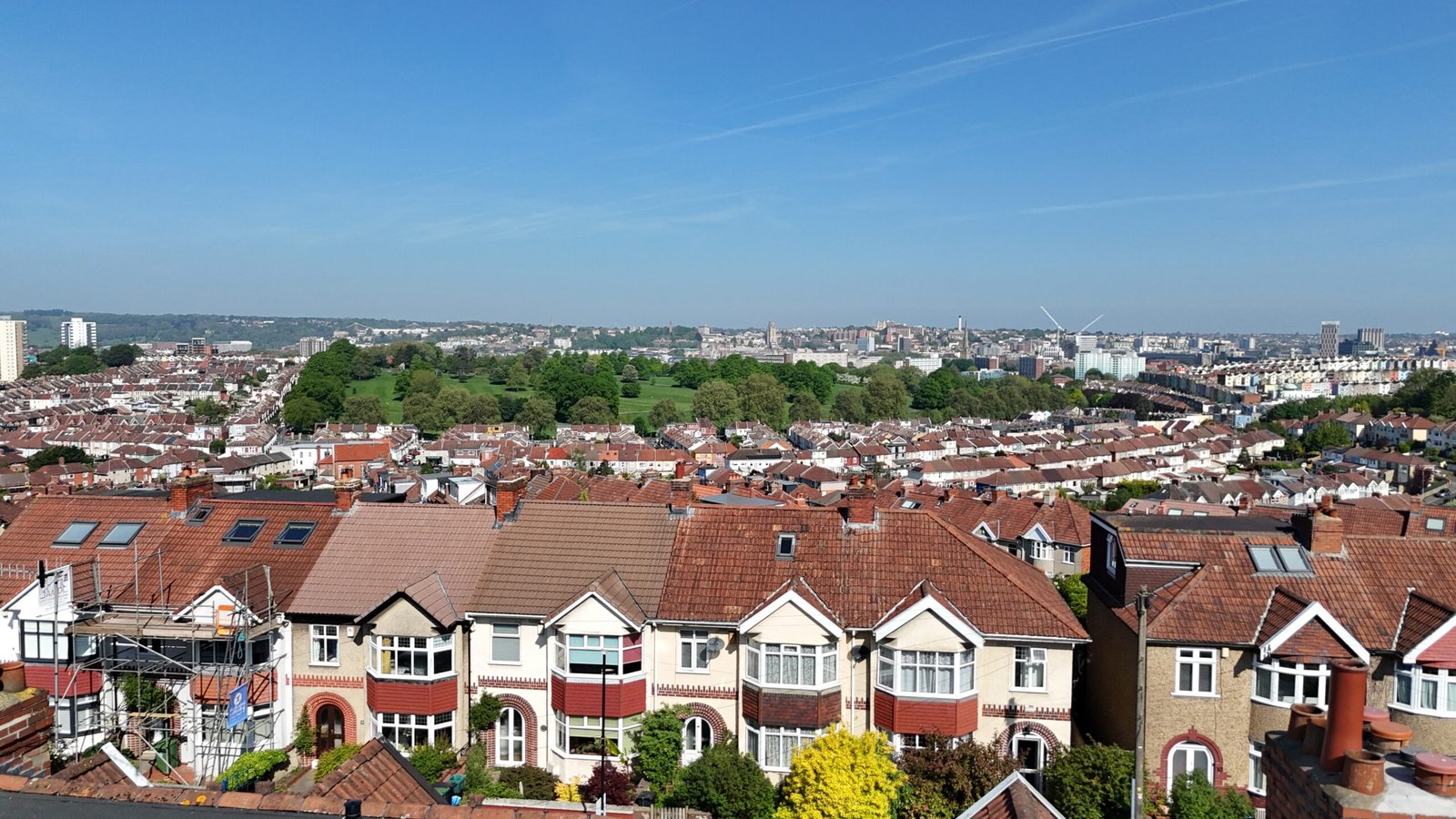
Useful where the important building detail is above normal inspection height
A drone is an inspection tool rather than a substitute for professional judgement.
Pre-purchase roof inspection
Additional high-level visibility where roof condition matters to a purchase.
Roof leak investigation
Aerial inspection where internal staining suggests a high-level defect.
Chimney inspection
Detailed views of pots, flaunching, masonry and flashings.
Roof maintenance planning
Photographic condition evidence for planned maintenance.
Post-repair roof review
Visual review of completed high-level work.
Specific defect investigation
Supporting targeted investigation of roof-related defects. Explore Specific Defect Surveys.
Roof and high-level building elements in closer detail
The exact flight and image set depend on the building, surroundings and purpose of the inspection.
- Roof tiles and slates
- Lead flashings and abutments
- Valleys, gullies and junctions
- Chimney stacks, pots and flaunching
- Parapets and high-level masonry
- Dormers and rooflights
- Ridge, hip and verge details
- High-level gutters and rainwater goods
- Localised defects associated with leaks
A targeted roof inspection process
We establish the reason for the inspection first so the imagery collected is relevant.
Send the property details
Provide the address and explain what you need inspected.
Review flight feasibility
We consider the building, surroundings, airspace and likely conditions.
Inspect from the air
Relevant high-level elements are photographed or filmed where safe and lawful.
Receive findings
Imagery is supplied with the agreed commentary or incorporated into a wider report.
Drone roof inspection can strengthen a Level 3 Building Survey
High-level imagery can be particularly useful on older or altered properties where roofs and chimneys are difficult to inspect from accessible positions.
Used where it adds value
Drone imagery may be used as part of a Level 3 Building Survey where appropriate, safe and practicable.
For an example of roof findings in a wider building survey, read our low-pitched roof case study.
Understand the evidence before paying for repairs
A photograph shows what is visible. The useful next step is understanding why it matters, what remains uncertain and whether repair, monitoring or further investigation is proportionate.
Mark Tutton BSc (Hons) MSc MRPSA ACABE combines a hands-on construction background with experience in residential surveying, defect investigation, insurance claims and architectural technology.
A real roof finding, explained
Our anonymised low-pitched roof case study explains why the absence of an active leak did not remove the need for further checks. It illustrates findings from a wider building survey; your standalone roof-inspection scope will be agreed separately.
Drone roof inspections remain subject to conditions on the day
Weather
Wind, rain and poor visibility can prevent safe or useful operation.
Airspace & surroundings
Restrictions, nearby buildings, people and obstacles may limit operation.
Privacy & third parties
Flights are planned with appropriate regard to neighbouring property and privacy.
Visual evidence only
Drone imagery cannot expose concealed construction or replace close access where materials need to be touched or opened.
Drone roof surveys in Bristol, South Gloucestershire and nearby areas
Standalone drone roof inspections and drone-supported building surveys are available across the core service area, subject to site suitability.
A drone roof survey is not the same as a flat roof condition report
If you need a dated photographic report for maintenance, landlord records or an insurer requirement, use the dedicated Flat Roof Inspection service.
Before booking a drone roof inspection
Is this a drone roof survey or a land survey?
This service is for visual inspection of roofs and high-level building fabric. It does not include topographical or boundary surveys, land mapping, photogrammetric mapping, BIM surveys or measured land surveys.
Can a drone roof survey replace scaffolding?
It can often avoid unnecessary access equipment for visual inspection, but close access may still be required for testing or repairs.
Will I receive the photographs?
Yes. The agreed output can include high-resolution still images and video where useful, with the surveyor commentary specified in your quotation. We confirm whether you need imagery with commentary, a focused defect report or a wider building survey before you instruct.
Can you fly in bad weather?
No. Unsafe or unsuitable weather may require the flight to be postponed or omitted.
Can you inspect a chimney that is difficult to see from the ground?
Often, yes, where flight conditions and airspace allow. Aerial imagery can help assess visible masonry, pots, flaunching and flashing details. It cannot confirm the condition of concealed flues or replace a specialist chimney test.
Is drone inspection included with every Level 3 Building Survey?
No. It is used where it materially improves the inspection and conditions allow.
What should I send before asking for a quote?
Send the property address, a listing link if available and a short description of what you want inspected.
Request a Drone Roof Inspection quote
Send the property details below. We’ll review what you need inspected, check whether drone operation is appropriate and confirm the scope, availability and fee.
Need a closer look at a roof, chimney or high-level defect?
Send the property details and we’ll review whether drone inspection is appropriate before confirming the scope and fee.